Data Modelling
Geophysical data modelling is performed in either 2D or 3D. EM plate modelling is conducted using Maxwell. Data and model results are compiled in georeferenced 3D maps. In the example below 3D model mesh and corresponding magnetic input data displayed as 3D relief.
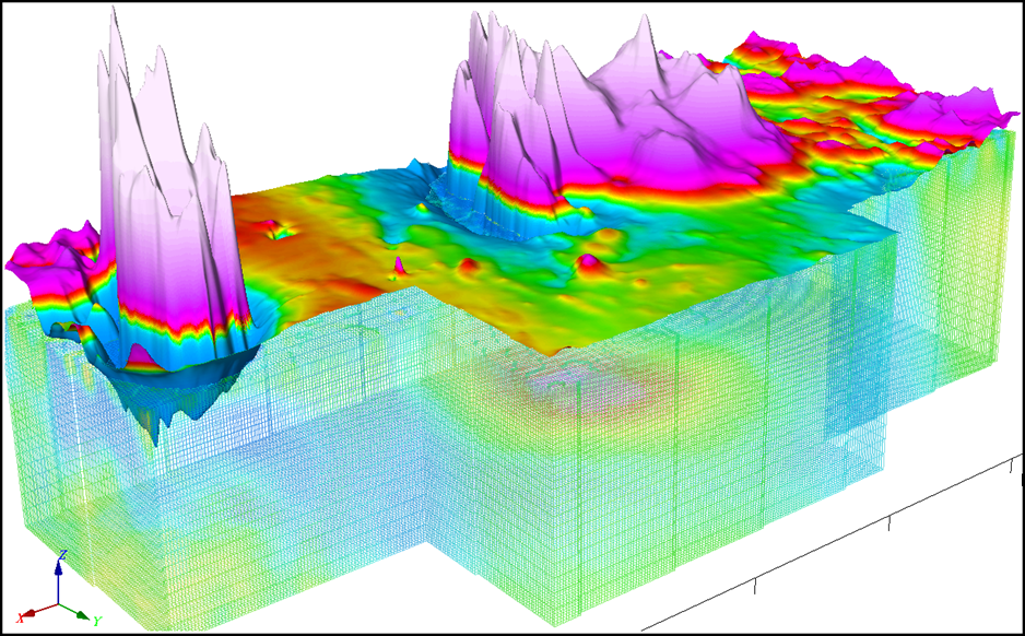
3D models can be assessed in 3D: features can be digitized at depth levels helping to identify fault or contact geometries.
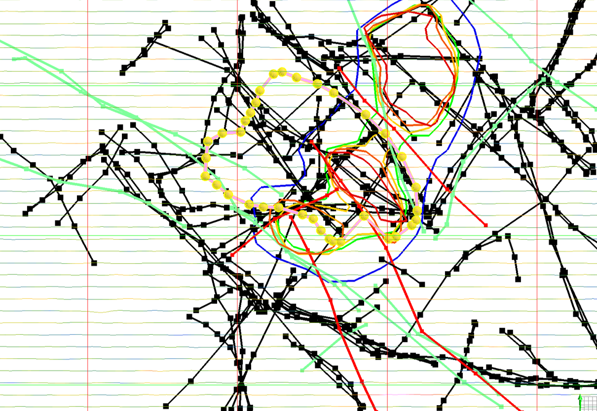
In this plan view image (below) magnetic and resistivity contrasts have been digitized at various depths through magnetic and resistivity models.
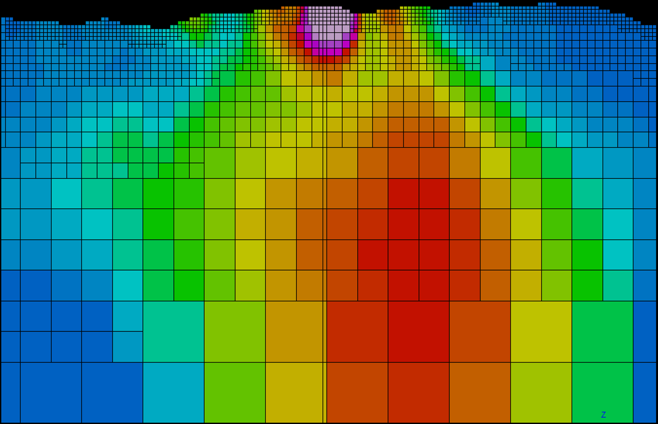
3D magnetic and gravity modelling are often performed using an octree mesh. Model cell sizes increase with depth permitting the use of smaller number of mesh cells for quicker runtime or larger models to be run. Data such as magnetic or gravity doesn’t have small cell resolution at depth.
next page: Rock Property Contrasts